Results


Page 3 of 4
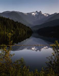
- Capilano Lake looking towards the Lions photographed July 10, 2012 for the District of West Vancouver Centennial Year. View of the Lions reflected in the lake with a strong vista of the treed shoreliCapilano Lake looking towards the Lions photographed July 10, 2012 for the …
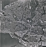
- An aerial photograph of West Vancouver and North Vancouver. The image spans from approximately 19 Street (West Van) to Fell Avenue (North Van) and North past the Upper Levels Highway to Cleveland DamAn aerial photograph of West Vancouver and North Vancouver. The image spans …
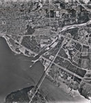
- An aerial photograph of West Vancouver in the Ambleside area. The image spans from Capilano Road to approximately 14th Street and North to Inglewood Avenue. Image taken after Park Royal South construAn aerial photograph of West Vancouver in the Ambleside area. The image …
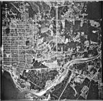
- An aerial photograph of West Vancouver in the Taylor Way area. The image spans from Lions Gate Bridge and Capilano River to approximately 14th Street and North to the Upper Levels Highway and BritishAn aerial photograph of West Vancouver in the Taylor Way area. The …
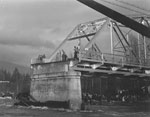
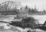
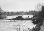
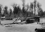
- View of washed out bridge over Capilano River. West side of bridge has collapsed and is not seen in photo. Large crowd gathered on shore with several people surveying damage on remaining bridge.View of washed out bridge over Capilano River. West side of bridge …
- Photograph of a large group of people standing on a wooden bridge constructed over the Capilano river.Photograph of a large group of people standing on a wooden bridge …
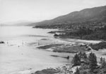
- A view, looking West, of the mouth of Capilano River flowing out into Burrard Inlet. The shoreline of Ambleside beach is also visible.A view, looking West, of the mouth of Capilano River flowing out …
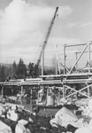
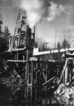
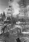
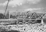
- A crane is used for bridge reconstruction over Capilano River after flooding in 1949.A crane is used for bridge reconstruction over Capilano River after flooding …
- A crane is used for bridge reconstruction over Capilano River after flooding in 1949.A crane is used for bridge reconstruction over Capilano River after flooding …
- A crane is used for bridge reconstruction over Capilano River after flooding in 1949.A crane is used for bridge reconstruction over Capilano River after flooding …
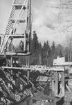
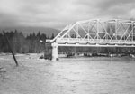
- Bridge reconstruction over Capilano River after flooding in 1949.Bridge reconstruction over Capilano River after flooding in 1949.
- A crane is used for bridge reconstruction over Capilano River after flooding in 1949.A crane is used for bridge reconstruction over Capilano River after flooding …
- Bridge reconstruction over Capilano River after flooding in 1949.Bridge reconstruction over Capilano River after flooding in 1949.
- Bridge reconstruction over Capilano River after flooding in 1949.Bridge reconstruction over Capilano River after flooding in 1949.
- Bridge reconstruction over Capilano River after flooding in 1949.Bridge reconstruction over Capilano River after flooding in 1949.
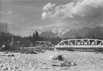
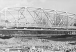
- A Bailey bridge put in place over Capilano River after flooding in 1949.A Bailey bridge put in place over Capilano River after flooding in …
- Bridge reconstruction over Capilano River after flooding in 1949.Bridge reconstruction over Capilano River after flooding in 1949.
- Panorama view of the West Vancouver waterfront from Prospect Point. View includes Dundarave, Ambleside Beach, Capilano River mouth, and Sentinel Hill. Panorama was created by combining 3 images on daPanorama view of the West Vancouver waterfront from Prospect Point. View includes …
- View of Capilano River mouth and Sentinel Hill from Prospect Point. (See 4446.WVML for panorama).View of Capilano River mouth and Sentinel Hill from Prospect Point. (See …
- Construction on Capilano River bridge.Construction on Capilano River bridge.
Page 3 of 4


