Results


Page 2 of 3
- S.S. "Charmer" enters First Narrows, circa. 1900. It was the only ferry steamer from Vancouver to Victoria with six trips per week. The voyage took eight hours. Smoke from a forest fire on Baby MountS.S. "Charmer" enters First Narrows, circa. 1900. It was the only ferry …
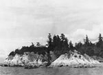
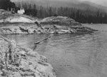
- View of Whytecliff Park from water. Roof of Cliff House barely visible in treeline.View of Whytecliff Park from water. Roof of Cliff House barely visible …
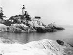
- View of Point Atkinson Lighthouse looking outwards with Point Grey in distant background.View of Point Atkinson Lighthouse looking outwards with Point Grey in distant …
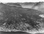
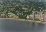
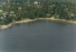
- An aerial view of West Vancouver's shoreline and mountains.An aerial view of West Vancouver's shoreline and mountains.
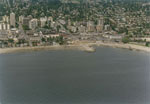
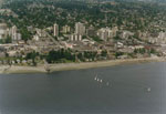
- View of houses and buildings along West Vancouver waterfront.View of houses and buildings along West Vancouver waterfront.
- View of surf crashing against Pacific Great Eastern railway tracks.View of surf crashing against Pacific Great Eastern railway tracks.
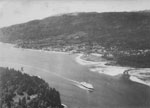
- An aerial view of a passenger ship entering the narrows (Burrard Inlet). The West Vancouver shoreline can be seen in the background, including Ambleside Beach.An aerial view of a passenger ship entering the narrows (Burrard Inlet). …
- The view from Dundarave Beach looking West. The shoreline of West Vancouver is visible receding into the distance.The view from Dundarave Beach looking West. The shoreline of West Vancouver …
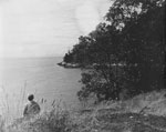
- Scenic view of Seal Point and mouth of Caulfeild Cove. Man sitting on rocks in midground. Contributed by Amy Larnder.Scenic view of Seal Point and mouth of Caulfeild Cove. Man sitting …
- View mouth of caulfeild cove taken from rocks on front of Pilot House Road. Person can be seen in one quarter view in foreground. Contributed by Amy Larnder.View mouth of caulfeild cove taken from rocks on front of Pilot …
- View of beach and waterfront between 20th and 21st Streets. W.C. Thompson House on right with tall trees beside. Photo taken from water looking towards shoreline.View of beach and waterfront between 20th and 21st Streets. W.C. Thompson …
- View of Kettle Point with Pilot Station, contributed by Amy Larnder.View of Kettle Point with Pilot Station, contributed by Amy Larnder.
- An aerial view of the West Vancouver shoreline from 12th-15th street, including Ambleside Beach.An aerial view of the West Vancouver shoreline from 12th-15th street, including …
- An aerial view of the West Vancouver shoreline from 13th-18th street including John Lawson Park.An aerial view of the West Vancouver shoreline from 13th-18th street including …
- An aerial view of the West Vancouver shoreline looking towards Pauline Johnson Elementary playing field, Recreation Centre, and the 2200 block of Marine Drive.An aerial view of the West Vancouver shoreline looking towards Pauline Johnson …
- An aerial view of the West Vancouver shoreline looking at the 5200 block of Marine Drive and Kew Beach.An aerial view of the West Vancouver shoreline looking at the 5200 …
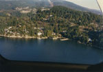
- An aerial view of the West Vancouver shoreline including Caulfeild Cove and Park.An aerial view of the West Vancouver shoreline including Caulfeild Cove and …
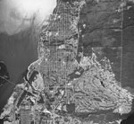
- An aerial photograph of the West Vancouver shoreline towards Dundarave, Lions Gate Bridge, Stanley Park, and the Strait of Georgia.An aerial photograph of the West Vancouver shoreline towards Dundarave, Lions Gate …
- View of shoreline and Hollyburn Wharf during storm with rough water hitting beach.View of shoreline and Hollyburn Wharf during storm with rough water hitting …
- Aerial view of First Narrows with ferry heading up Burrard Inlet. Stanley Park in foreground and West Vancouver in midground.Aerial view of First Narrows with ferry heading up Burrard Inlet. Stanley …
Page 2 of 3


