Results


Page 5 of 5
- Aerial view of Whyte Islet Park and Whytecliff Park.Aerial view of Whyte Islet Park and Whytecliff Park.
- Aerial view of the Stanley Park seawall and Siwash Rock.Aerial view of the Stanley Park seawall and Siwash Rock.
- Aerial view of Onion Island, located just off the Southwest bay of Bowen Island.Aerial view of Onion Island, located just off the Southwest bay of …
- Aerial view of Stanley Park, Deadman's Island, Vancouver Yacht Club, and Lost Lagoon. Point Grey can be seen in the distance.Aerial view of Stanley Park, Deadman's Island, Vancouver Yacht Club, and Lost …
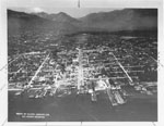
- Aerial view of Canada Place and downtown Vancouver. A large boat can be seen moored along side Canada Place.Aerial view of Canada Place and downtown Vancouver. A large boat can …
- Stamp on back of photo states: Leonard Frank Photos, 614 W. Pender St., Vancouver (35660)Stamp on back of photo states: Leonard Frank Photos, 614 W. Pender …
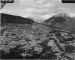
- Northeast of British Properties Developmnet, including the Capilano Golf Course and North Shore Mountains.Northeast of British Properties Developmnet, including the Capilano Golf Course and North …
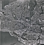
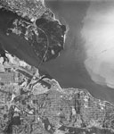
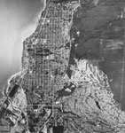
- An aerial photograph of West Vancouver and North Vancouver. The image spans from approximately 19 Street (West Van) to Fell Avenue (North Van) and North past the Upper Levels Highway to Cleveland DamAn aerial photograph of West Vancouver and North Vancouver. The image spans …
- An aerial photograph of West Vancouver in the Ambleside area. The image spans from Capilano Road to approximately 14th Street and North to Inglewood Avenue. Image taken after Park Royal South construAn aerial photograph of West Vancouver in the Ambleside area. The image …
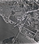
- An aerial view of North Vancouver which includes Lonsdale, the shipyards, the waterfront, the ferry terminal, the existing houses, and the North Shore mountains. The photograph was most likely takenAn aerial view of North Vancouver which includes Lonsdale, the shipyards, the …
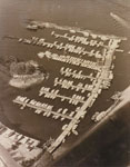
- An aerial photo of Sewell's Marina. Floating barges can be seen forming a breakwater for the moorages filled with boats.An aerial photo of Sewell's Marina. Floating barges can be seen forming …
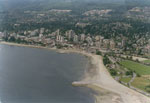
- An aerial view of the West Vancouver shoreline including Ambleside Beach, Hollyburn Ridge, and the British Pacific Properties.An aerial view of the West Vancouver shoreline including Ambleside Beach, Hollyburn …
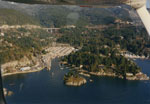
- An aerial view of the West Vancouver shoreline looking North at Eagle Island and Fisherman's Cove (on the left), Eagle Harbour (on the right), and the Upper Levels Highway at the top of the photograpAn aerial view of the West Vancouver shoreline looking North at Eagle …
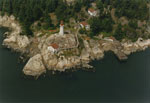
- An aerial view of the West Vancouver shoreline looking over Lighthouse Park at Point Atkinson.An aerial view of the West Vancouver shoreline looking over Lighthouse Park …
- An aerial photograph of West Vancouver, Lions Gate Bridge, Stanley Park, and the Strait of Georgia.An aerial photograph of West Vancouver, Lions Gate Bridge, Stanley Park, and …
- An aerial photograph of the West Vancouver shoreline towards Dundarave. Ambleside and Park Royal are both visible.An aerial photograph of the West Vancouver shoreline towards Dundarave. Ambleside and …
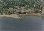
- An aerial view of the West Vancouver shoreline including Dundarave Pier, Peppi's Restaurant, and the 2400 block of Marine Drive.An aerial view of the West Vancouver shoreline including Dundarave Pier, Peppi's …
Page 5 of 5
We are grateful for the generous support of the British Columbia History Digitization Program, Friends of the West Vancouver Memorial Library, West Vancouver Historical Society and Young Canada Works.
© 2019 West Vancouver Memorial Library | Website by Affinity Bridge


