Results
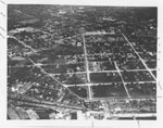
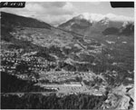
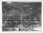
- An aerial view of North Vancouver which includes Queen Mary School and St. Paul's Church. The photograph was most likely taken in the 1920's-1930's.An aerial view of North Vancouver which includes Queen Mary School and …
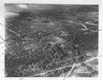
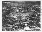
- An aerial view of North Vancouver which includes 3rd Street. The photograph was most likely taken in the 1920's-1930's.An aerial view of North Vancouver which includes 3rd Street. The photograph …
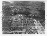
- An aerial view of North Vancouver looking North of 16th and West of Grand Boulevard. The photograph was most likely taken in the 1920's-1930's.An aerial view of North Vancouver looking North of 16th and West …
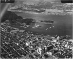
- Aerial photo: view of the northwest of Coal Harbour, including Stanley Park and the North Shore.Aerial photo: view of the northwest of Coal Harbour, including Stanley Park …
- Aerial photo of Park Royal, houses on Sentinel Hill, North Shore Mountains and British Properties.Aerial photo of Park Royal, houses on Sentinel Hill, North Shore Mountains …
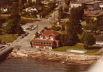
- Aerial view of Dundarave Pier area with historic St. Mawes Hotel building. By 2011 this building is in use as the Beach House Restaurant. St. Mawes Hotel building is also known as the Clachan Hotel aAerial view of Dundarave Pier area with historic St. Mawes Hotel building. …
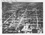
- An aerial view of North Vancouver looking North which includes Lonsdale, St. George, and Chesterfield. The photograph was most likely taken in the 1920's-1930's.An aerial view of North Vancouver looking North which includes Lonsdale, St. …
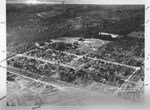
- An aerial view of North Vancouver which includes Mahon Park. The photograph was most likely taken in the 1920's-1930's.An aerial view of North Vancouver which includes Mahon Park. The photograph …
- An aerial view of North Vancouver looking Northeast which includes the streets St. George and St. Andrew. The photograph was most likely taken in the 1920's-1930's.An aerial view of North Vancouver looking Northeast which includes the streets …
- An aerial view of North Vancouver which includes Lonsdale, Keith Road, and Victoria Park. The photograph was most likely taken in the 1920's-1930's.An aerial view of North Vancouver which includes Lonsdale, Keith Road, and …
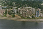
- An aerial view of the West Vancouver shoreline including apartment buildings on Bellevue Avenue, Hollyburn House, and Recreation Centre.An aerial view of the West Vancouver shoreline including apartment buildings on …
- An aerial view of the West Vancouver shoreline looking up along the 3700 block of Marine Drive.An aerial view of the West Vancouver shoreline looking up along the …
- An aerial view of the West Vancouver shoreline looking up along the 3500-3600 block of Marine Drive.An aerial view of the West Vancouver shoreline looking up along the …
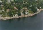
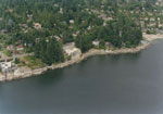
- An aerial photograph of the West Vancouver shoreline towards Dundarave.An aerial photograph of the West Vancouver shoreline towards Dundarave.
- Aerial view of the Iron Worker's Memorial (Second Narrows) Bridge looking East down Burrard Inlet towards Indian Arm.Aerial view of the Iron Worker's Memorial (Second Narrows) Bridge looking East …
- Aerial view of Deep Cove looking at Cates Park.Aerial view of Deep Cove looking at Cates Park.
- Aerial view of Deep Cove looking East towards Grey Rocks Island and Indian Arm.Aerial view of Deep Cove looking East towards Grey Rocks Island and …
- Aerial view of downtown Vancouver at Cardero Street.Aerial view of downtown Vancouver at Cardero Street.
- Aerial view of Lions gate Bridge looking East to downtown Vancouver and Burrard Inlet. Piles of yellow sulfur can be seen at a North Vancouver terminal on the left.Aerial view of Lions gate Bridge looking East to downtown Vancouver and …
- Aerial view of Vancouver Harbour including Deadman's Island, Vancouver Yacht Club, Lost Lagoon, Downtown Vancouver, and Point Grey in the distance.Aerial view of Vancouver Harbour including Deadman's Island, Vancouver Yacht Club, Lost …
We are grateful for the generous support of the British Columbia History Digitization Program, Friends of the West Vancouver Memorial Library, West Vancouver Historical Society and Young Canada Works.
© 2019 West Vancouver Memorial Library | Website by Affinity Bridge


