Results
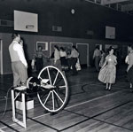
- View of men and women square dancing at Inglewood school.View of men and women square dancing at Inglewood school.
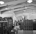
- View of the interior of the West Vancouver Memorial Library.View of the interior of the West Vancouver Memorial Library.
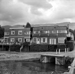
- View of an apartment building located at the foot of 25th Street.View of an apartment building located at the foot of 25th Street.
- Lych gate at the entrance to St. Francis in the Woods Church in Caulfeild.Lych gate at the entrance to St. Francis in the Woods Church …
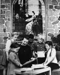
- Chief Librarian Elizabeth Musto displaying books to children in front of the memorial window. Patricia Gunn can also be seen in the photograph second from the right.Chief Librarian Elizabeth Musto displaying books to children in front of the …
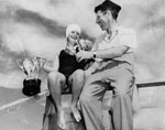
- Susan Sangster receiving swimming trophies, 1950's, location possibly Dundarave Beach. Susan Sangster trained in Portland, Philadelphia and Ontario, and represented Canada at the 1958 British EmpireSusan Sangster receiving swimming trophies, 1950's, location possibly Dundarave Beach. Susan Sangster …
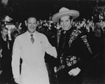
- Staff of Charlton's Super-Market, 2491 Marine Drive. This location later changed to Stong's and as of 2011 is the location of IGA Supermarket. Photograph shows staff member (left) with the Cisco KidStaff of Charlton's Super-Market, 2491 Marine Drive. This location later changed to …
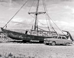
- A wooden sail boat named the Mandan and Elise (Frank Ellis’ wife) in a car.A wooden sail boat named the Mandan and Elise (Frank Ellis’ wife) …
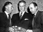
- Tom Sewell (L), Moyer McBrain (middle,incoming Chief of police), and Frank Millard (R).Tom Sewell (L), Moyer McBrain (middle,incoming Chief of police), and Frank Millard …
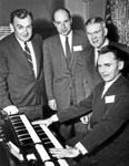
- James Sinclair (L), Frank Millard (middle), and Tom Sewell at the piano.James Sinclair (L), Frank Millard (middle), and Tom Sewell at the piano.
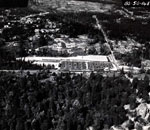
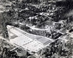
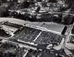
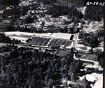
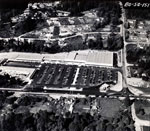
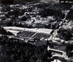
- Aerial photograph of Park Royal shopping centre and parking lot.Aerial photograph of Park Royal shopping centre and parking lot.
- Aerial photograph of Park Royal location with overlapped sketch of the shopping centre's buildings.Aerial photograph of Park Royal location with overlapped sketch of the shopping …
- Aerial photograph of Park Royal shopping centre and parking lot.Aerial photograph of Park Royal shopping centre and parking lot.
- Aerial photograph of Park Royal shopping centre and parking lot.Aerial photograph of Park Royal shopping centre and parking lot.
- Aerial photograph of Park Royal shopping centre and parking lot.Aerial photograph of Park Royal shopping centre and parking lot.
- Aerial photograph of Park Royal shopping centre and parking lot.Aerial photograph of Park Royal shopping centre and parking lot.
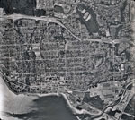
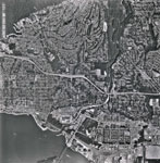
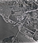
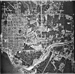
- An aerial photograph of West Vancouver in the Ambleside area. The image spans from Lions Gate Bridge to approximately 22nd Street and North to the Upper Levels Highway. Image taken after Park Royal SAn aerial photograph of West Vancouver in the Ambleside area. The image …
- An aerial photograph of West Vancouver and North Vancouver. The image spans from approximately 19 Street (West Van) to Fell Avenue (North Van) and North past the Upper Levels Highway to Cleveland DamAn aerial photograph of West Vancouver and North Vancouver. The image spans …
- An aerial photograph of West Vancouver in the Ambleside area. The image spans from Capilano Road to approximately 14th Street and North to Inglewood Avenue. Image taken after Park Royal South construAn aerial photograph of West Vancouver in the Ambleside area. The image …
- An aerial photograph of West Vancouver in the Taylor Way area. The image spans from Lions Gate Bridge and Capilano River to approximately 14th Street and North to the Upper Levels Highway and BritishAn aerial photograph of West Vancouver in the Taylor Way area. The …
We are grateful for the generous support of the British Columbia History Digitization Program, Friends of the West Vancouver Memorial Library, West Vancouver Historical Society and Young Canada Works.
© 2019 West Vancouver Memorial Library | Website by Affinity Bridge


