Results


Page 2 of 4
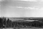
- View south east from British Properties construction of Vancouver Harbour, Burrard Inlet, and Lions Gate Bridge.View south east from British Properties construction of Vancouver Harbour, Burrard Inlet, …
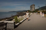
- Centennial Seawalk looking west with walkers and runners. Seastrand apartment building at 150 24th Street in background. Photographed August 1, 2012 for the District of West Vancouver Centennial YearCentennial Seawalk looking west with walkers and runners. Seastrand apartment building at …
- View of West Vancouver from Prospect Point. Photographed July 2012 for the District Centennial Year. Geolocation: Lat: 49.313772 Long: -123.141997.View of West Vancouver from Prospect Point. Photographed July 2012 for the …
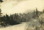
- View looking North up Stevens drive, circa 1940's.View looking North up Stevens drive, circa 1940's.
- A view overlooking Sandy Cove beach in West Vancouver.A view overlooking Sandy Cove beach in West Vancouver.
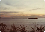
- View of freighter ships anchored off the coast of West Vancouver at sunset.View of freighter ships anchored off the coast of West Vancouver at …
- View off Kettle Point in Caulfeild area. Island Princess boat can be seen in distant background.View off Kettle Point in Caulfeild area. Island Princess boat can be …
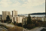
- View from apartment at 17th Street and Esquimalt Avenue. Photo shows West Vancouver Museum & Archives and several apartment buildings.View from apartment at 17th Street and Esquimalt Avenue. Photo shows West …
- View of Ambleside area from Sentinel Hill. Land is mostly deforested with one small building in right foreground. Marine Drive cuts through land.View of Ambleside area from Sentinel Hill. Land is mostly deforested with …
- Photostitched panorama of West Vancouver taken from Sentinel Hill just east of Leyland Park. Photo shows Burrard Inlet, Lions Gate Bridge, Stanley Park, Ambleside Beach, and Point Gray.Photostitched panorama of West Vancouver taken from Sentinel Hill just east of …
- View of construction on Westhill Drive as well as of Burrard Inlet and Lions Gate Bridge.View of construction on Westhill Drive as well as of Burrard Inlet …
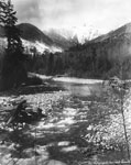
- Capilano Creek, probably 1910-1920, now vanished beneath the water of the water supply resevoir of Capilano Lake created by the building of Capilano Creek Cleveland Dam, formally opened 19th NovemberCapilano Creek, probably 1910-1920, now vanished beneath the water of the water …
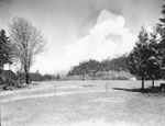
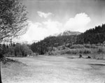
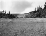
- View of Pete Larson's Ranch looking North. Site of present day Gleneagles Golf Course.View of Pete Larson's Ranch looking North. Site of present day Gleneagles …
- View of Pete Larson's Ranch. Site of present day Gleneagles Golf Course.View of Pete Larson's Ranch. Site of present day Gleneagles Golf Course.
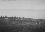
- View looking towards the water of Pete Larson's ranch. It is the site of the present day Gleneagles Golf Course.View looking towards the water of Pete Larson's ranch. It is the …
- View of entrance to Burrard Inlet from West Bay. This photo was used for the 1938 Canadian fifty cent green postage stamp. In original version Mount Baker is visible in background and for the stamp iView of entrance to Burrard Inlet from West Bay. This photo was …
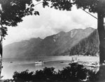
- View looking into Horseshoe Bay. Several boats and a dock with many people on it are in the midground.View looking into Horseshoe Bay. Several boats and a dock with many …
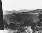
- View from Point Atkinson Lighthouse looking towards entrance to Howe Sound.View from Point Atkinson Lighthouse looking towards entrance to Howe Sound.
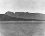
- A panorama view of the West Vancouver shoreline and mountains with Sentinel Hill on right hand side of photo.A panorama view of the West Vancouver shoreline and mountains with Sentinel …
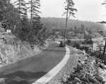
- View of Marine Drive in Gleneagles area. Old model Ford parked on edge of road.View of Marine Drive in Gleneagles area. Old model Ford parked on …
Page 2 of 4


