Results
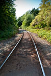
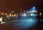
- A view looking West from The Dale road along the train tracks.A view looking West from The Dale road along the train tracks.
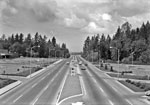
- View looking West up Marine Drive from an overpass at Park Royal.View looking West up Marine Drive from an overpass at Park Royal.
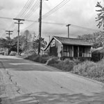
- Street view of an empty house located on the corner of 18th Street and Bellevue Avenue. The house was just South of Carter's Garden Shop.Street view of an empty house located on the corner of 18th …
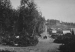
- The beginning of construction on Taylor Way. A young boy can be seen standing in the middle of the newly clear cut road.The beginning of construction on Taylor Way. A young boy can be …
- View looking North up Stevens drive, circa 1940's.View looking North up Stevens drive, circa 1940's.
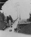
- View, looking North towards West Vancouver, of Lions Gate Bridge and the Stanley Park causeway.View, looking North towards West Vancouver, of Lions Gate Bridge and the …
- View looking West along Marine Drive in Dundarave Village. Numerous cars can also be seen.View looking West along Marine Drive in Dundarave Village. Numerous cars can …
- Automobiles on road. Original cataloguing states the road is Cloverleaf road, possibly in Vancouver.Automobiles on road. Original cataloguing states the road is Cloverleaf road, possibly …
- A view of Taylor Way and the entrance to the British Properties. A Chrysler Windsor Station Wagon (first with roll down windows and tail gate) is also pictured in the foreground.A view of Taylor Way and the entrance to the British Properties. …
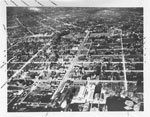
- An aerial view of North Vancouver looking North which includes Lonsdale, St. George, and Chesterfield. The photograph was most likely taken in the 1920's-1930's.An aerial view of North Vancouver looking North which includes Lonsdale, St. …
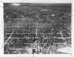
- An aerial view of North Vancouver looking Northeast which includes the streets St. George and St. Andrew. The photograph was most likely taken in the 1920's-1930's.An aerial view of North Vancouver looking Northeast which includes the streets …
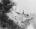
- View of construction of Sea to Sky Highway. Road is single lane gravel following along cliff edge.View of construction of Sea to Sky Highway. Road is single lane …
- View of Sea to Sky Highway to Squamish as a single lane dirt road during construction.View of Sea to Sky Highway to Squamish as a single lane …
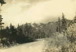
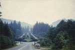
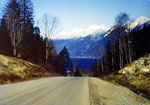
- View of snow-covered mountains and the original road to Horseshoe Bay (now the on-ramp to the Upper Levels Highway from B.C. Ferries).View of snow-covered mountains and the original road to Horseshoe Bay (now …
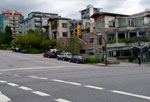
- A street view of the intersection at 17th Street and Marine Drive. A gray Mazda 3, silver Ford SUV, and a Chevrolet can be seen parked along 17th Street.A street view of the intersection at 17th Street and Marine Drive. …
- View looking east along Esquimalt Avenue from 15th Street. Original label on photograph reads: "Taylor Road now Esquimalt Avenue." Horse drawn carriage approaching photo along the road can also be seView looking east along Esquimalt Avenue from 15th Street. Original label on …
- View of Suicide Bend on Marine Drive. Older model car (possibly a Model T) seen on road.View of Suicide Bend on Marine Drive. Older model car (possibly a …
We are grateful for the generous support of the British Columbia History Digitization Program, Friends of the West Vancouver Memorial Library, West Vancouver Historical Society and Young Canada Works.
© 2019 West Vancouver Memorial Library | Website by Affinity Bridge


