Results
- Picture of the first summer house on Prospect Point in Stanley Park. Originally this location was called Observation Point.Picture of the first summer house on Prospect Point in Stanley Park. …
- A view of the mouth of Cypress Creek looking East from Lighthouse Park.A view of the mouth of Cypress Creek looking East from Lighthouse …
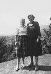
- A photo taken in Leyland Park with a view of West Vancouver in the background. Two people are in the photo, writing on the back of the photo name them Jim and Jean.A photo taken in Leyland Park with a view of West Vancouver …
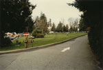
- View of a grassy area of Whytecliff Park. A "keep right" sign is visible along with people socializing on the grass.View of a grassy area of Whytecliff Park. A "keep right" sign …
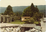
- View of Horseshoe Bay Park and ferry terminal.View of Horseshoe Bay Park and ferry terminal.
- View of Ambleside business district from Leyland Park.View of Ambleside business district from Leyland Park.
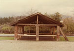
- View of shelter in Ambleside Park donated by Clare Downing in memory of his wife.View of shelter in Ambleside Park donated by Clare Downing in memory …
- View of concession stand in Dundarave Park, foot of 25th Street.View of concession stand in Dundarave Park, foot of 25th Street.
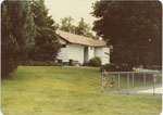
- View of Dundarave Park, 25th Street and Argyle Avenue. Photo shows edge of swimming pool and park facilities building.View of Dundarave Park, 25th Street and Argyle Avenue. Photo shows edge …
- View of West Vancouver shoreline, Stanley Park, and Prospect Point. The view is also the site of the present day Lions Gate Bridge.View of West Vancouver shoreline, Stanley Park, and Prospect Point. The view …
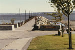
- View looking out towards Dundarave Pier and Point Grey from Dundarave Park, foot of 25th Street.View looking out towards Dundarave Pier and Point Grey from Dundarave Park, …
- A photo taken in Leyland Park with a view of West Vancouver in the background. Two women are in the photo, Edith B. Hughes and a friend (Jean).A photo taken in Leyland Park with a view of West Vancouver …
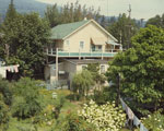
- Two apartments in a store building located at 25th Street and Bellevue Avenue. The building was demolished in 1972 and replaced by a park.Two apartments in a store building located at 25th Street and Bellevue …
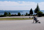
- A longboarder slides down Westhill Drive which snakes around Westhill Park. Burrard Inlet and Stanley Park are visible in the background.A longboarder slides down Westhill Drive which snakes around Westhill Park. Burrard …
- A longboarder skating down Westhill Drive which snakes around Westhill Park. Lions Gate Bridge and Stanley Park are visible in the background.A longboarder skating down Westhill Drive which snakes around Westhill Park. Lions …
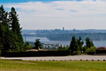
- A view of Lions Gate Bridge, Burrard Inlet, and Ambleside Beach from Westhill Park located on Westhill Drive.A view of Lions Gate Bridge, Burrard Inlet, and Ambleside Beach from …
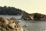
- View of shoreline in Whytecliff Park with boats moored midground.View of shoreline in Whytecliff Park with boats moored midground.
- View of two grass tennis courts near waterfront at John Lawson Park. This may be the location of the present park but the photo appears to predate the creation of the park which was done sometime aftView of two grass tennis courts near waterfront at John Lawson Park. …
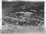
- An aerial view of North Vancouver which includes Mahon Park. The photograph was most likely taken in the 1920's-1930's.An aerial view of North Vancouver which includes Mahon Park. The photograph …
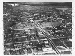
- An aerial view of North Vancouver which includes Lonsdale, Keith Road, and Victoria Park. The photograph was most likely taken in the 1920's-1930's.An aerial view of North Vancouver which includes Lonsdale, Keith Road, and …
We are grateful for the generous support of the British Columbia History Digitization Program, Friends of the West Vancouver Memorial Library, West Vancouver Historical Society and Young Canada Works.
© 2019 West Vancouver Memorial Library | Website by Affinity Bridge


