Results
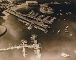
- Aerial view of the Royal Vancouver Yacht Club Jericho location.Aerial view of the Royal Vancouver Yacht Club Jericho location.
- Aerial view of Lions Gate Bridge, Burrard Inlet, and North Vancouver. The North Shore mountains are also visible in the distance.Aerial view of Lions Gate Bridge, Burrard Inlet, and North Vancouver. The …
- Aerial view of English Bay, downtown Vancouver, North Vancouver, and the North Shore Mountains.Aerial view of English Bay, downtown Vancouver, North Vancouver, and the North …
- Aerial view of Deep Cove looking East towards Grey Rocks Island, boats can be seen just off the shoreline along with many docks.Aerial view of Deep Cove looking East towards Grey Rocks Island, boats …
- Aerial view of Stanley Park, Burrard Inlet, Deadman's Island, and Canada Place.Aerial view of Stanley Park, Burrard Inlet, Deadman's Island, and Canada Place.
- Aerial view of the Burrard Street bridge, Granville Street bridge, and English Bay.Aerial view of the Burrard Street bridge, Granville Street bridge, and English …
- Aerial view of Canada Place, B.C. Place, and downtown Vancouver.Aerial view of Canada Place, B.C. Place, and downtown Vancouver.
- Aerial view of Vancouver Harbour including Deadman's Island, Vancouver Yacht Club, Lost Lagoon, Downtown Vancouver, and Point Grey in the background.Aerial view of Vancouver Harbour including Deadman's Island, Vancouver Yacht Club, Lost …
- Aerial photo of Sewell's Marina looking towards the shore with the boathouse and marina wharves.Aerial photo of Sewell's Marina looking towards the shore with the boathouse …
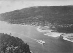
- Aerial view of First Narrows with ferry heading up Burrard Inlet. Stanley Park in foreground and West Vancouver in midground.Aerial view of First Narrows with ferry heading up Burrard Inlet. Stanley …
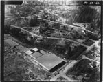
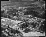
- Aerial photo of Park Royal and Sentinel Hill. Houses and streets can be seen above Park Royal.Aerial photo of Park Royal and Sentinel Hill. Houses and streets can …
- Aerial photo of Park Royal and Sentinel Hill with houses.Aerial photo of Park Royal and Sentinel Hill with houses.
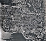
- An aerial photograph of West Vancouver in the Ambleside area. The image spans from Lions Gate Bridge to approximately 22nd Street and North to the Upper Levels Highway. Image taken after Park Royal SAn aerial photograph of West Vancouver in the Ambleside area. The image …
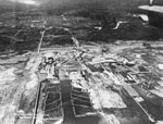
- An aerial view of North Vancouver which includes the waterfront, the mill, and the log booms. The photograph was most likely taken in the 1920's-1930's.An aerial view of North Vancouver which includes the waterfront, the mill, …
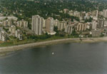
- An aerial view of the West Vancouver shoreline including apartment buildings along Bellevue Avenue and the Centennial seawalk.An aerial view of the West Vancouver shoreline including apartment buildings along …
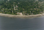
- An aerial view of the West Vancouver shoreline looking up 29th street towards the West Vancouver Presbyterian Church.An aerial view of the West Vancouver shoreline looking up 29th street …
- An aerial photograph of West and North Vancouver, downtown Vancouver, Iron Worker's Memorial Bridge, Lions Gate Bridge, Stanley Park, Cypress Mountain, Grouse Mountain, and the Strait of Georgia.An aerial photograph of West and North Vancouver, downtown Vancouver, Iron Worker's …
- Aerial view of Bowyer Island, Howe Sound, and the surrounding mountain ranges.Aerial view of Bowyer Island, Howe Sound, and the surrounding mountain ranges.
- Aerial view of downtown Vancouver, Lost Lagoon, and English Bay. Burrard Inlet and North Vancouver can also be seen in the distance.Aerial view of downtown Vancouver, Lost Lagoon, and English Bay. Burrard Inlet …
- Aerial view of Horseshoe Bay and the Ferry terminal.Aerial view of Horseshoe Bay and the Ferry terminal.
We are grateful for the generous support of the British Columbia History Digitization Program, Friends of the West Vancouver Memorial Library, West Vancouver Historical Society and Young Canada Works.
© 2019 West Vancouver Memorial Library | Website by Affinity Bridge


