Results
- Aerial view of Burrard Inlet and Canada place.Aerial view of Burrard Inlet and Canada place.
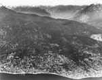
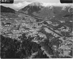
- An aerial view of West Vancouver's shoreline and mountains.An aerial view of West Vancouver's shoreline and mountains.
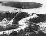
- Aerial view of flooded Capilano River and collapsed steel bridge, Lions Gate Bride, First Narrows, and Stanley Park.Aerial view of flooded Capilano River and collapsed steel bridge, Lions Gate …
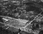
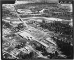
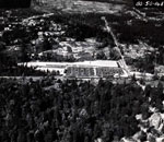
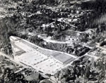
- Aerial photo of Park Royal under construction, Sentinel Hill, Marine Drive, and Taylor Way.Aerial photo of Park Royal under construction, Sentinel Hill, Marine Drive, and …
- Aerial photo of Park Royal, Sentinel Hill, British Properties, and Capilano Golf and Country Club.Aerial photo of Park Royal, Sentinel Hill, British Properties, and Capilano Golf …
- Aerial photo of Park Royal, Capilano River, and the bottom of Sentinel Hill.Aerial photo of Park Royal, Capilano River, and the bottom of Sentinel …
- Aerial photo northeast of British Properties Developmnet, including the Capilano Golf Course and Grouse Mountain.Aerial photo northeast of British Properties Developmnet, including the Capilano Golf Course …
- Aerial photo of newly opened Park Royal Shopping Centre looking north west. Keith Road, Marine Drive, Evelyn Drive, and Taylor Way can all be seen in photo. Photo appeared in "Nabob" magazine, OctobeAerial photo of newly opened Park Royal Shopping Centre looking north west. …
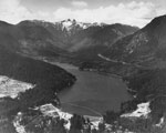
- An aerial view of the snow covered Cleveland Dam Resevoir and a panorama of the Lions.An aerial view of the snow covered Cleveland Dam Resevoir and a …
- An aerial view of a passenger ship entering the narrows (Burrard Inlet). The West Vancouver shoreline can be seen in the background, including Ambleside Beach.An aerial view of a passenger ship entering the narrows (Burrard Inlet). …
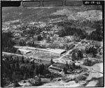
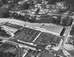
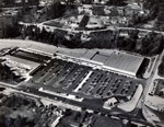
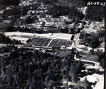
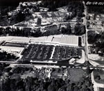
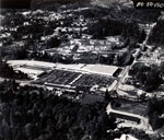
- Aerial photograph of Park Royal shopping centre and parking lot.Aerial photograph of Park Royal shopping centre and parking lot.
- Aerial photograph of Park Royal location with overlapped sketch of the shopping centre's buildings.Aerial photograph of Park Royal location with overlapped sketch of the shopping …
- Aerial photograph of Park Royal shopping centre and parking lot.Aerial photograph of Park Royal shopping centre and parking lot.
- Aerial photograph of Park Royal shopping centre and parking lot.Aerial photograph of Park Royal shopping centre and parking lot.
- Aerial photograph of Park Royal shopping centre and parking lot.Aerial photograph of Park Royal shopping centre and parking lot.
- Aerial photograph of Park Royal shopping centre and parking lot.Aerial photograph of Park Royal shopping centre and parking lot.
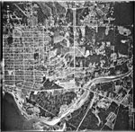
- An aerial photograph of West Vancouver in the Taylor Way area. The image spans from Lions Gate Bridge and Capilano River to approximately 14th Street and North to the Upper Levels Highway and BritishAn aerial photograph of West Vancouver in the Taylor Way area. The …
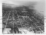
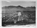
- An aerial view of North Vancouver which looks East from Mahon Park. The photograph was most likely taken in the 1920's-1930's.An aerial view of North Vancouver which looks East from Mahon Park. …
- An aerial view of North Vancouver which includes 3rd Street to 7th Street, Grand Boulevard, and the North Shore Mountains. The photograph was most likely taken in the 1920's-1930's.An aerial view of North Vancouver which includes 3rd Street to 7th …
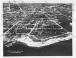
- An aerial view of North Vancouver waterfront between St. Andrews and St. Davids. The photograph was most likely taken in the 1920's-1930's.An aerial view of North Vancouver waterfront between St. Andrews and St. …
We are grateful for the generous support of the British Columbia History Digitization Program, Friends of the West Vancouver Memorial Library, West Vancouver Historical Society and Young Canada Works.
© 2019 West Vancouver Memorial Library | Website by Affinity Bridge


