Results
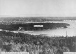
- View from Sentinell Hill of Stanley Park and Vancouver. Added labels for: First Narrows, Stanley Park, Siwash Rock, & Punta de la Bodega.View from Sentinell Hill of Stanley Park and Vancouver. Added labels for: …
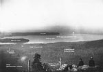
- View from atop Grouse Mountain with two men sitting on rocks in lower right foreground. The photo has been labelled with place names and slogans: Capilano Canyon, Stanley Park, Kitsilano, Entrance toView from atop Grouse Mountain with two men sitting on rocks in …
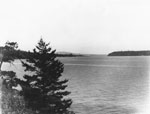
- View looking towards Stanley Park and First Narrows from West Vancouver shoreline (current location of Lions Gate Bridge).View looking towards Stanley Park and First Narrows from West Vancouver shoreline …
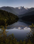
- Capilano Lake looking towards the Lions photographed July 10, 2012 for the District of West Vancouver Centennial Year. View of the Lions reflected in the lake with a strong vista of the treed shoreliCapilano Lake looking towards the Lions photographed July 10, 2012 for the …
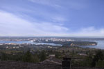
- View of Vancouver from British Properties. Photographed July 31, 2012 for the District of West Vancouver Centennial Year. Geolocation: Lat: 49.355824 Long: -123.148327View of Vancouver from British Properties. Photographed July 31, 2012 for the …
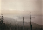
- View of West Vancouver, First Narrows, Burrard Inlet, and Stanley Park taken from Hollyburn Mountain prior to 1938 and the construction of Lions Gate Bridge.View of West Vancouver, First Narrows, Burrard Inlet, and Stanley Park taken …
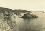
- View of Eagle Island looking towards Point Grey in the background.View of Eagle Island looking towards Point Grey in the background.
- Scenic view looking north along 17th Avenue. Land surrounding road has been cleared and a man can be seen in profile in foreground.Scenic view looking north along 17th Avenue. Land surrounding road has been …
- View of West Vancouver from 997 Esquimalt Avenue.View of West Vancouver from 997 Esquimalt Avenue.
- View of West Vancouver from 997 Esquimalt Avenue.View of West Vancouver from 997 Esquimalt Avenue.
- Scenic view of housing neighborhood and Sewell's Marina, Horseshoe Bay.Scenic view of housing neighborhood and Sewell's Marina, Horseshoe Bay.
- View of Ambleside business district from Leyland Park.View of Ambleside business district from Leyland Park.
- View of Lions Gate Bridge, First Narrows, and the West Vancouver shoreline form West Bay.View of Lions Gate Bridge, First Narrows, and the West Vancouver shoreline …
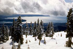
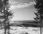
- View of Stanley Park, West Vancouver, and Kitsilano from a snow-covered Hollyburn Mountain.View of Stanley Park, West Vancouver, and Kitsilano from a snow-covered Hollyburn …
- House construction above the upper levels highway at 21st Street.House construction above the upper levels highway at 21st Street.
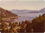
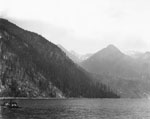
- View looking up Howe Sound with mountains in the distance. In the digital version several blemishes have been removed in upper section of photo.View looking up Howe Sound with mountains in the distance. In the …
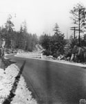
- View of British Properties cleared land and roadway. Burrard Inlet and the City of Vancouver seen in background. Two people can be seen in the bottom right side of the image.View of British Properties cleared land and roadway. Burrard Inlet and the …
- View looking east along Marine Drive from above rise at Caulfeild. Original cataloging note states that: Dark spot at centre, right of road, is road leading to Cove.View looking east along Marine Drive from above rise at Caulfeild. Original …
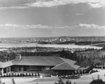
- View from British Properties showing new house in foreground with Burrard Inlet, Lions Gate Bridge, and the City of Vancouver in background. Photograph appeared in British Properties advertisement inView from British Properties showing new house in foreground with Burrard Inlet, …
- View from British Properties overlooking Burrard Inlet with snow in foreground. Visible in background is Stanley Park, Lions Gate Bridge, First Narrows, and City of Vancouver.View from British Properties overlooking Burrard Inlet with snow in foreground. Visible …


