Results
- Runaway of McNair logging engine (Walking Dudley?). Hollyburn Wharf West Vancouver at the foot of 17th Street, Hollyburn.Runaway of McNair logging engine (Walking Dudley?). Hollyburn Wharf West Vancouver at …
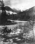
- Capilano Creek, probably 1910-1920, now vanished beneath the water of the water supply resevoir of Capilano Lake created by the building of Capilano Creek Cleveland Dam, formally opened 19th NovemberCapilano Creek, probably 1910-1920, now vanished beneath the water of the water …
- 1. Reeve Vinson's residence. 14th & Gordon2. Lawson House & Barn3. Hollyburn Pavillion cor. 17th4. Salter residence 1912-135. Post Office & Hollyburn General Store6. Municipal Hall 17th & Esquimalt7.1. Reeve Vinson's residence. 14th & Gordon2. Lawson House & Barn3. Hollyburn …
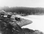
- View of houses, totem poles, church and two people on a beach at Friendly Cove.View of houses, totem poles, church and two people on a beach …
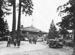
- View of people leaving Cliff House Tea Room at Whytecliff Park.View of people leaving Cliff House Tea Room at Whytecliff Park.
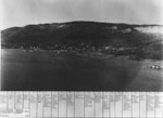
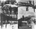
- Montage of 4 photos from Grouse Mountain in the 1920s.Montage of 4 photos from Grouse Mountain in the 1920s.
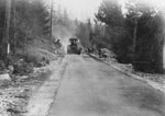
- View of men and construction machinery paving Marine Drive.View of men and construction machinery paving Marine Drive.
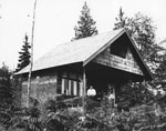
- View of house belonging to J.D. Thompson at northeast corner of 21st Street and Bellevue Avenue. Man seated on front porch is likely J.D. Thompson (aka, James Thompson).View of house belonging to J.D. Thompson at northeast corner of 21st …
- View of West Vancouver # 5 Ferry in Burrard Inlet. Note on back of photo states that West Vancouver number 5 built around 1915. Sunk in collision with C.P.R. Princess Alice 1935.View of West Vancouver # 5 Ferry in Burrard Inlet. Note on …
- View of 2 children playing on a bar under a cottage porch with Mrs. Lunn shown in the right corner of the photo.View of 2 children playing on a bar under a cottage porch …
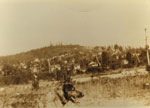
- A view of Baby Mountain, later called Sentinel Hill, from Ambleside. A dog can also be seen pictured in the foreground of the photograph.A view of Baby Mountain, later called Sentinel Hill, from Ambleside. A …
- View looking down Dundarave Pier towards the shore. The St. Mawes Hotel is visible in the background at the foot of 25th Street (By 2013 this building is in use as the Beach House Restaurant).View looking down Dundarave Pier towards the shore. The St. Mawes Hotel …
- A summer view of Ambleside area looking South towards Burrard Inlet and Stanley Park.A summer view of Ambleside area looking South towards Burrard Inlet and …
- A snow covered view of Ambleside area looking South towards Burrard Inlet and Stanley Park.A snow covered view of Ambleside area looking South towards Burrard Inlet …
- Scenic view of Seal Point and mouth of Caulfeild Cove. Man sitting on rocks in midground. Contributed by Amy Larnder.Scenic view of Seal Point and mouth of Caulfeild Cove. Man sitting …
- Portrait of Chow, Chinese resident of Caulfeild who lived in cabin at the head of Caulfeild Cove.Portrait of Chow, Chinese resident of Caulfeild who lived in cabin at …
- View of sail boat off the mouth of Cypress Creek. Probably close to Pilot Cove area. Contributed by Amy Larnder.View of sail boat off the mouth of Cypress Creek. Probably close …
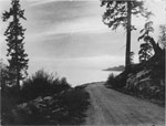
- View of suicide bend on Marine Drive with Point Atkinson Lighthouse in distance. Contributed by Amy Larnder.View of suicide bend on Marine Drive with Point Atkinson Lighthouse in …
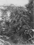
- View of flowering bush along side of footpath in Caulfeild area. Contributed by Amy Larnder.View of flowering bush along side of footpath in Caulfeild area. Contributed …
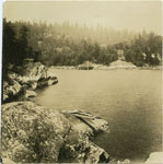
- View of the mouth of Caulfeild Cove taken from the shore of Lighthouse Park. Contributed by Amy Larnder.View of the mouth of Caulfeild Cove taken from the shore of …


