Results
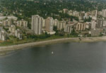
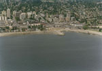
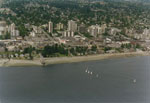
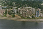
- An aerial view of the West Vancouver shoreline including apartment buildings along Bellevue Avenue and the Centennial seawalk.An aerial view of the West Vancouver shoreline including apartment buildings along …
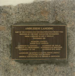
- A commemorative Plaque at Ambleside Landing located at 14th and Bellevue.A commemorative Plaque at Ambleside Landing located at 14th and Bellevue.
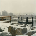
- A snow covered view of a dock and the 1300 block of Bellevue Avenue from Ambleside.A snow covered view of a dock and the 1300 block of …
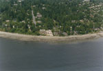
- An aerial view of the West Vancouver shoreline looking up 29th street towards the West Vancouver Presbyterian Church.An aerial view of the West Vancouver shoreline looking up 29th street …
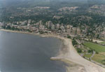
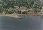
- An aerial view of the West Vancouver shoreline from 12th-15th street, including Ambleside Beach.An aerial view of the West Vancouver shoreline from 12th-15th street, including …
- An aerial view of the West Vancouver shoreline including Ambleside Beach, Hollyburn Ridge, and the British Pacific Properties.An aerial view of the West Vancouver shoreline including Ambleside Beach, Hollyburn …
- An aerial view of the West Vancouver shoreline including Dundarave Pier, Peppi's Restaurant, and the 2400 block of Marine Drive.An aerial view of the West Vancouver shoreline including Dundarave Pier, Peppi's …
- An aerial view of the West Vancouver shoreline from 13th-18th street including John Lawson Park.An aerial view of the West Vancouver shoreline from 13th-18th street including …
- An aerial view of the West Vancouver shoreline including apartment buildings on Bellevue Avenue, Hollyburn House, and Recreation Centre.An aerial view of the West Vancouver shoreline including apartment buildings on …
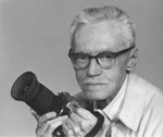
- A portrait of William Mcphee, resident of West Vancouver and a photographer. Plenty of McPhee's collection of West Vancouver photographs are available through the West Vancouver digital collection.A portrait of William Mcphee, resident of West Vancouver and a photographer. …
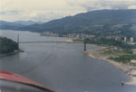
- An aerial view of the West Vancouver shoreline, Lions Gate Bridge, and First Narrrows.An aerial view of the West Vancouver shoreline, Lions Gate Bridge, and …
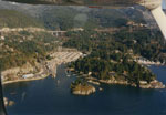
- An aerial view of the West Vancouver shoreline looking North at Eagle Island and Fisherman's Cove (on the left), Eagle Harbour (on the right), and the Upper Levels Highway at the top of the photograpAn aerial view of the West Vancouver shoreline looking North at Eagle …
- An aerial view of the West Vancouver shoreline looking at the 5200 block of Marine Drive and Kew Beach.An aerial view of the West Vancouver shoreline looking at the 5200 …
- An aerial view of the West Vancouver shoreline including Caulfeild Cove and Park.An aerial view of the West Vancouver shoreline including Caulfeild Cove and …
- An aerial view of the West Vancouver shoreline looking up along the 3700 block of Marine Drive.An aerial view of the West Vancouver shoreline looking up along the …
- An aerial view of the West Vancouver shoreline looking up along the 3500-3600 block of Marine Drive.An aerial view of the West Vancouver shoreline looking up along the …
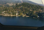
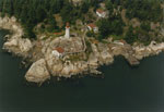
- An aerial view of the West Vancouver shoreline looking over Lighthouse Park at Point Atkinson.An aerial view of the West Vancouver shoreline looking over Lighthouse Park …
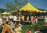
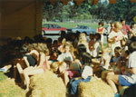
- Children enjoying community day activities at the community centre in West Vancouver.Children enjoying community day activities at the community centre in West Vancouver.
- Children enjoying community day activities at the community centre in West Vancouver.Children enjoying community day activities at the community centre in West Vancouver.
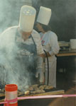
- Community day barbeque at the community centre in West Vancouver.Community day barbeque at the community centre in West Vancouver.
We are grateful for the generous support of the British Columbia History Digitization Program, Friends of the West Vancouver Memorial Library, West Vancouver Historical Society and Young Canada Works.
© 2019 West Vancouver Memorial Library | Website by Affinity Bridge


